
|
|
 |
Manitoba
The Land
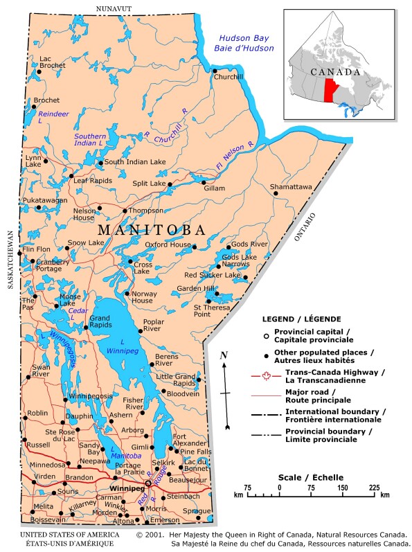
Bordered by Ontario, Saskatchewan, the Northwest Territories, Hudson Bay and the
United States, Manitoba is one of the three Prairie provinces and is located in
the centre of Canada.
Its 650 000 km2 of landscape offer few extremes. Elevations rise slowly to the south and west from sea level at Hudson Bay. Most of Manitoba lies between 150 and 300 m above sea level, but in the Turtle, Riding, Duck and Baldy mountains, heights rise to 700 m or higher. The highest point in Manitoba is Baldy Mountain, in Duck Mountain Provincial Park, at 831 m.
Manitoba is known as the land of 100 000 lakes, a legacy of enormous Lake Agassiz, which covered much of the province after the glaciers retreated. The major rivers of western Canada flow into the lowland region of Manitoba, giving Manitoba 90 percent of the hydro-electric potential of the Prairie region. The northern topography is heavily glaciated and covered in forest, dominated by pine, hemlock and birch.
Manitoba is one of the sunniest provinces in Canada. It has a continental climate, with great temperatures extremes. Typical of southern Manitoba, the mean January temperature in Winnipeg is about -20oC; the July average is about 19oC. In Thompson, in the centre of northern Manitoba, the averages for the same months are about -27oC and 15oC.
Manitoba is a Prairie-Province located between Saskatchewan and Ontario.
Pop. 1 091 942 (4.0%).
![]()